Mapping Longitude with Time: How Watches and Chronometers Aided Navigation
This article explores the historical role of watches and chronometers in land-based navigation, challenging the common misconception that accurate timekeeping was solely developed for maritime use. It highlights how portable, precise timekeepers were essential for cartography and exploration on land, enabling surveyors and explorers to determine longitude and map vast territories.
- Chronometers and later wristwatches were indispensable tools for exploration and navigation on land.
- Accurate timekeeping was crucial for fixing the longitude of land-based locations before it could be used for maritime navigation.
- The 18th century saw advancements in cartography enabled by portable, accurate timekeeping and rigorous observation.
- Land chronometers in the 19th century were used for extensive surveys, with instruments transported over long distances to determine precise longitudes.
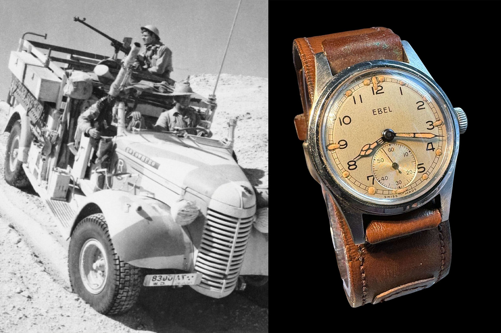
- 20th-century military operations, such as those by the Long Range Desert Group, utilized wristwatches for dead reckoning navigation in challenging terrains.
- The principles of precision timekeeping and accurate observation for determining longitude remained relevant until the late 20th century with the advent of quartz and GPS technology.
John Harrison, a self-taught carpenter, is identified as a pivotal figure in horology for solving the longitude problem with his marine timekeepers.
The article posits that before timekeepers could determine a ship's position at sea, they first had to establish the longitude of fixed points on land.
The cartographic explosion of the 1700s was facilitated by the combination of portable, accurate timekeeping and meticulous observation.
Simeon Borden's 1846 survey of Massachusetts involved transporting 38 chronometers across 13 trips to determine the longitude of a single church.
Boxed chronometers, often kept in three-tier gimballed wooden boxes, were shock-resistant and reliable for extended periods away from a base, even on uneven ground.
Charles Frodsham's chronometer number 1842, purchased by the British Admiralty in 1841, was used for mapping the River Niger and later for a hydrographic survey of the English coast.
Thomas Mercer became a prominent name in survey chronometers, with the Admiralty continuing to use them for coastal and harbor surveys into the 20th century.
More specialized survey chronometers were rated to sidereal time and equipped with electrical contacts for tape chronographs to record astronomical sightings.